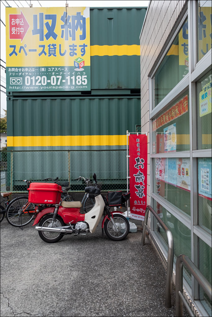
Click on the image for a larger view.

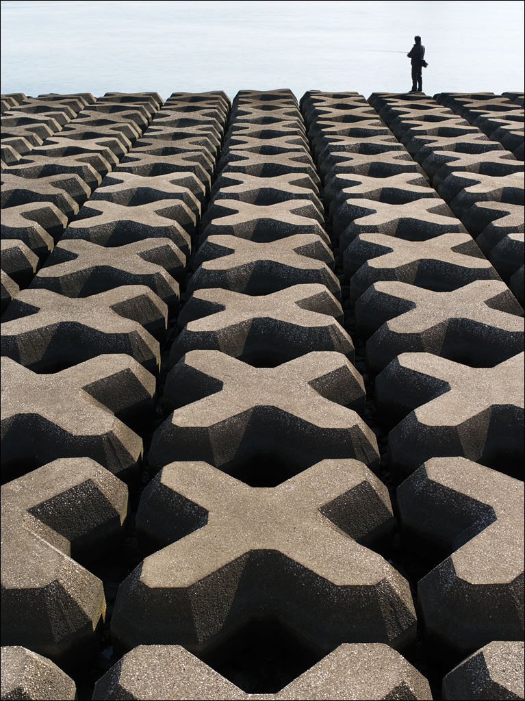
Click on the image for a larger view.

Click on the image for a larger view.
 The defense along the artificial islands in Tokyo Bay. From our book Earth, Water, Fire, Wind, Emptiness: Tokyo Landscape. Click on the image for a larger view.
 Click on the image for a larger view.
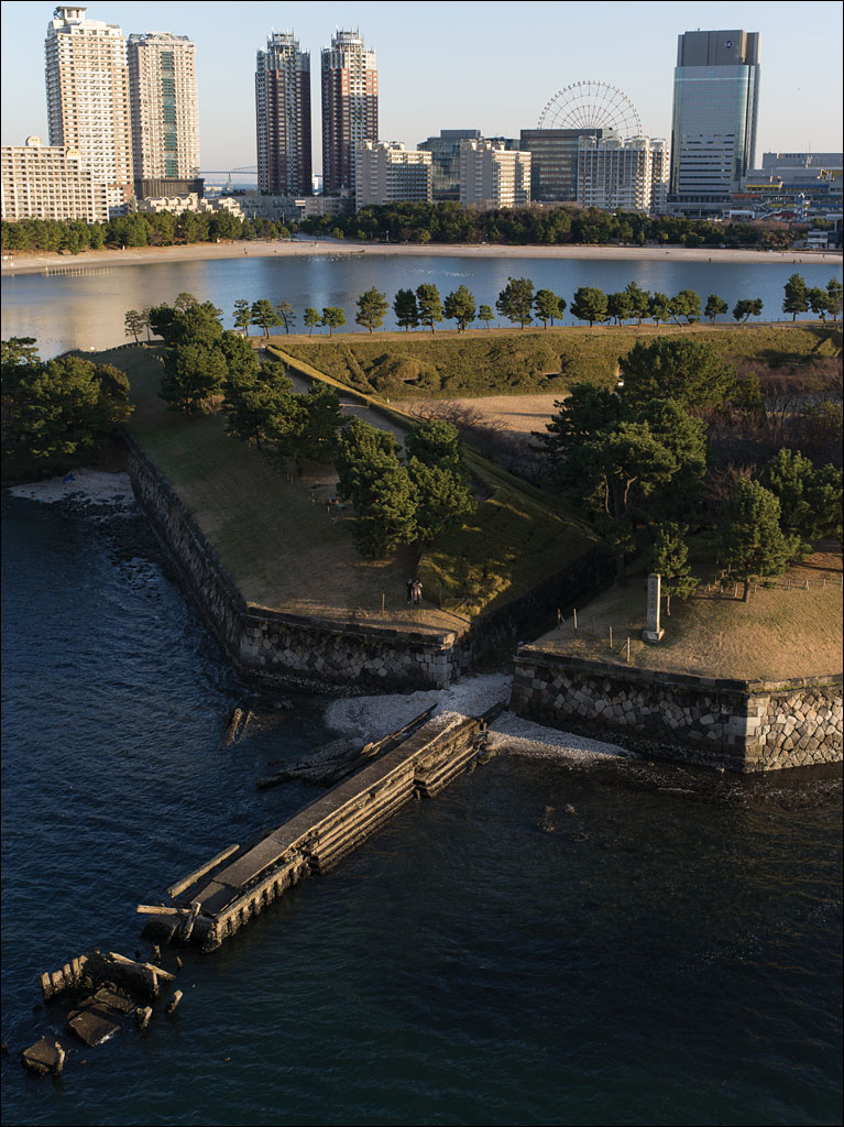 What looks like a peaceful Japanese garden is Number 3 Daiba, a fortification built in 1853 as a response to attempts by US Commodore Perry to open Japan. Beyond that is the artificial island of Odaiba, which was constructed after World War II and one of the planned sites for the 2020 Tokyo Olympic Games. Between the two high-rise apartment building on the left is Tokyo Gate Bridge, the furthest extent of the city into the bay. Number 3 Daiba was originally built several kilometers off the coast of the city in open water. This image comes from our book Earth, Water, Fire, Wind, Emptiness: Tokyo Landscapes. Click on the image for a larger view.
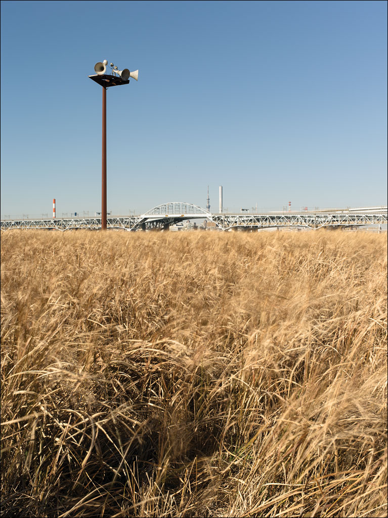 Kasai Rinkai Park is on Tokyo Bay. It is an artificial island built to preserve the natural habitat of Tokyo bay destroyed by development. The bridge in in the background is the main highway that connects Tokyo with Chiba, Tokyo Disneyland, and Narita International Airport. The loudspeakers on the post warn people of approaching tsunamis. This image is from our book Earth, Water, Fire, Wind, Emptiness: Tokyo Landscape. Click on the image for a larger view.
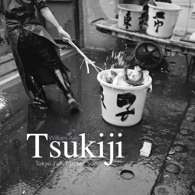
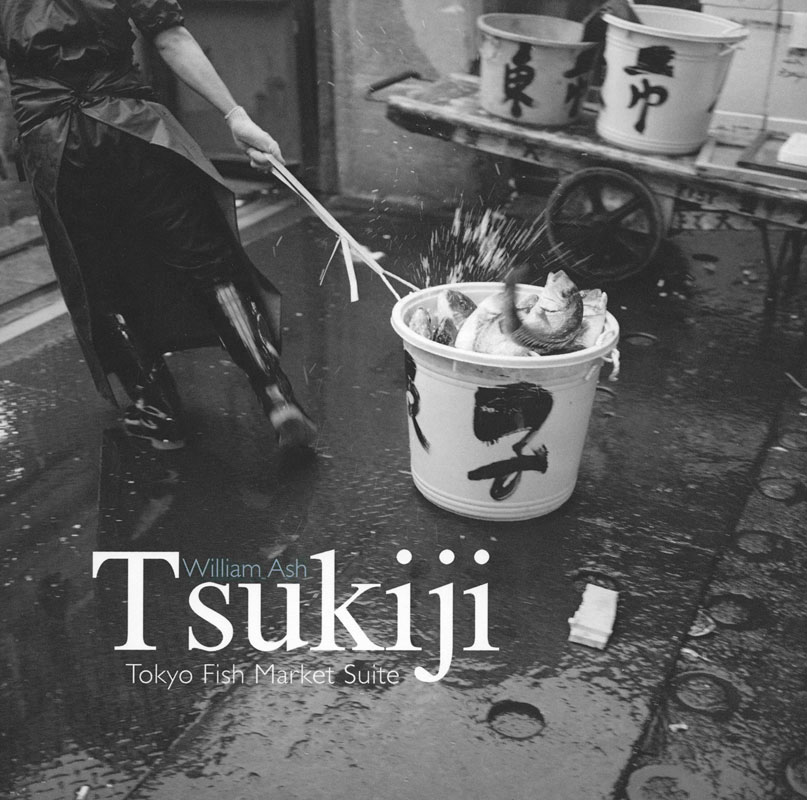 Our latest book Tsukiji: Tokyo Fish Market Suite is now available in our store. You can also read about this book here.
Both Tsukiji: Tokyo Fish Market Suite and Earth, Water, Fire, Wind, Emptiness: Tokyo Landscape were selected for the Photobook Exhibition at Athen Photo Festival 2017. The festival runs from June 14 to July 30 at the Benaki Museum in Athens, Greece.
 The Griffin Museum of Photography will be hosting events around publishing and the photo book on March 26th. From 10 am to 1 pm, Viginia Swanson will be hosting To Be Published, or Self Publish? From 2 pm to 4 pm, self-publishers, including us, will be showing their work during the Photobook Showcase. We will have copies of our latest book Tsukiji: Tokyo Fish Market Suite available. We hope to see you there.
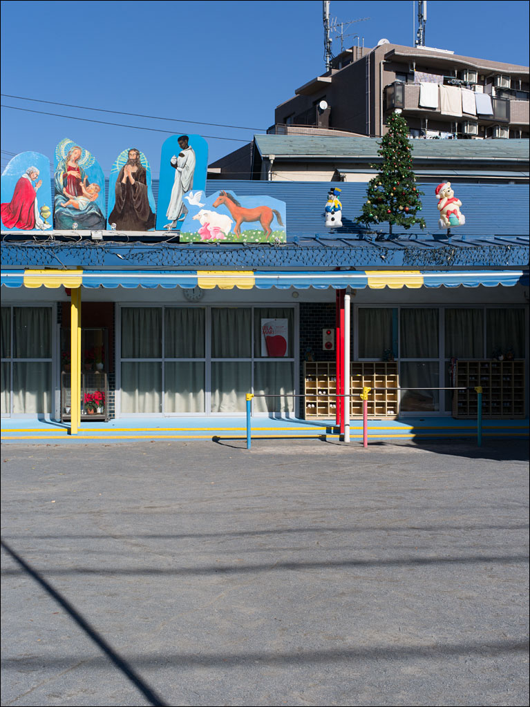 A schoolyard nativity scene in Tokyo, with pink rabbits and Winnie-the-pooh. Note the shoe boxes where students place their footwear before entering the school building. This was one of the outtakes from Earth, Water, Fire, Wind, Emptiness. Click on the image for a larger view.
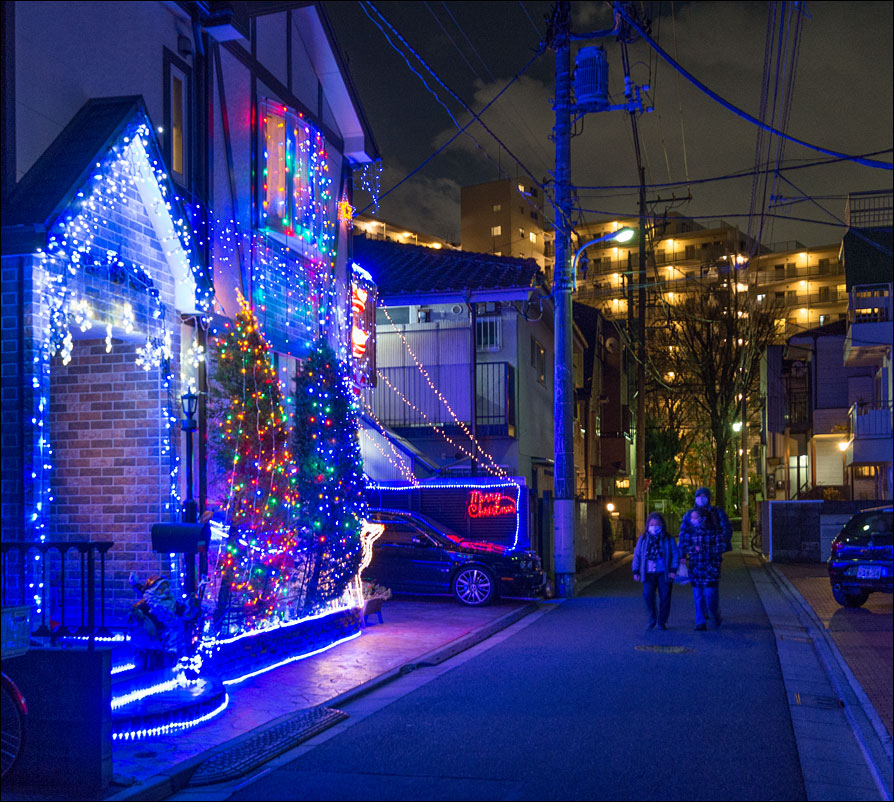 Illuminations are part of the holiday season. These lights are in Tokyo where Christmas is less a religious observance than a time to have fun. This is actually a small family restaurant that is in someone’s home. Click on the image for a larger view.