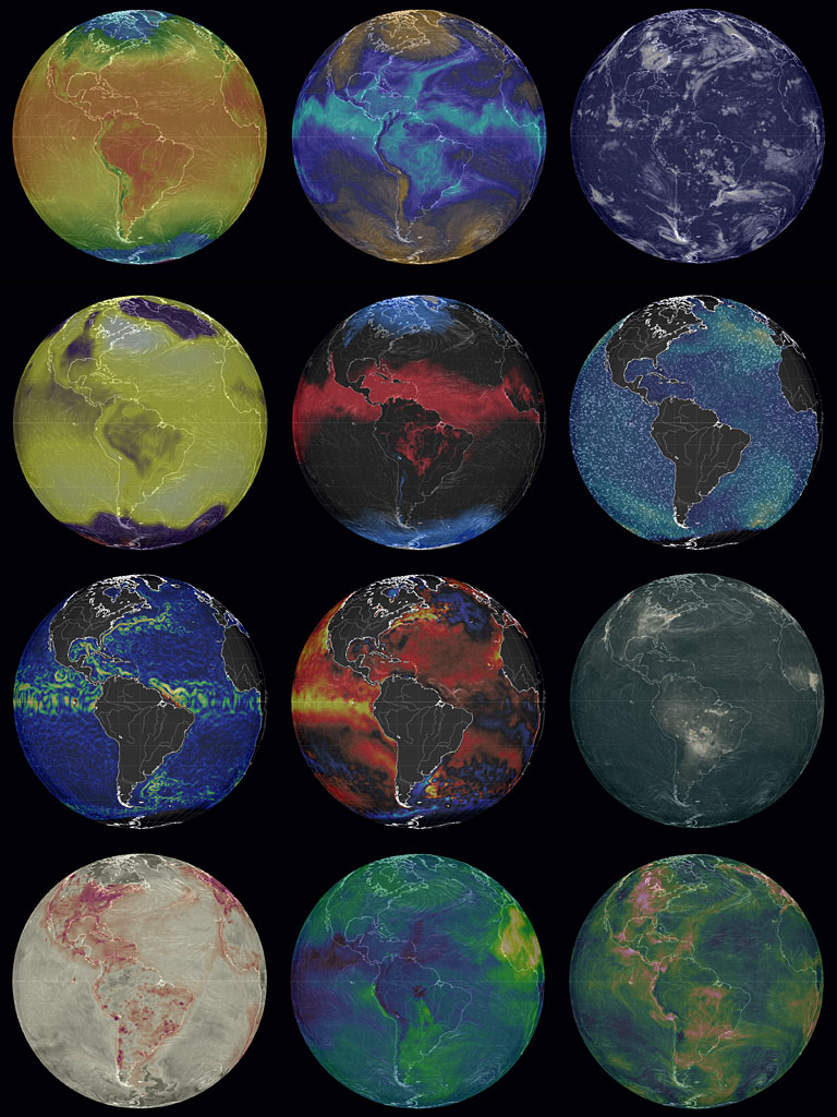
 Earth Wind Map is one of the neatest visualizations and interactive maps I have seen. You can see current data of ocean currents, particulate extinction, chemical extinction, temperature, cloud water, relative humidity, and a bunch or other stuff including wind. You can turn the globe, or whatever projection you chose (there are several), and zoom into areas. Simply click on the button labelled Earth to select the options—the top of that dialog box tells you what you are looking at. The data are updated every three hours. You could click on my image composite of their projections or, better still, go to the site. This is something worth bookmarking.
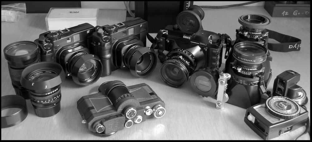 We have added a new section to Hakusan Creation called Gear Talk. This new section is a place where we discuss the equipment we use, the photographic process, and thoughts on photography. Use the following link or resources menu to take you to the pages: