 An outtake from our book Earth, Water, Fire, Wind, Emptiness: Tokyo Landscape. Click on the image for a larger view.
Tag Archives: Outtake
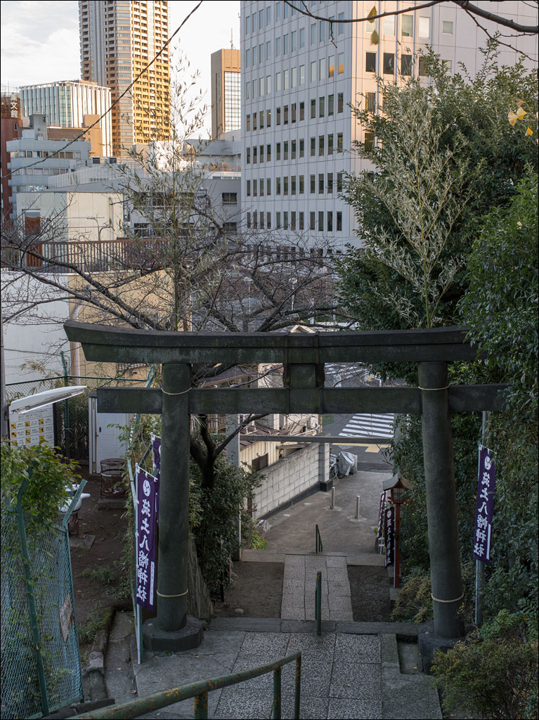
Tsukido Hachiman—Tokyo Landscape
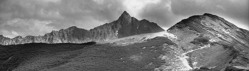
 It is no secret that Tokyo is a sea of buildings. Its reputation of using every inch of space is hard to imagine until you have been there. What is less known is the topography of hills and valleys throughout the city.
On the top of a hill in Shinjuku ward is Tsukido Hachiman Shrine. In its day, the shrine would have been a prominent site overlooking Edo. Today, it is hidden beneath layers of buildings. However, in spring, the cherry trees lining the approach make it hard to miss.
The stone gate, or Torii, dates from 1726 and is all that remains of the original shrine that was lost in the fire bombing of Tokyo during World War II. The bamboo trees attached to the front of the gate are in preparation for the new year celebration. The small area to the left of the gate is a children’s playground. Click on the image for a larger view.
This image is an outtake from Earth, Water, Fire, Wind, Emptiness: Tokyo Landscape. It is one of the over 4,000 images that did not make it into our book.
Takadanobaba—Tokyo Landscape
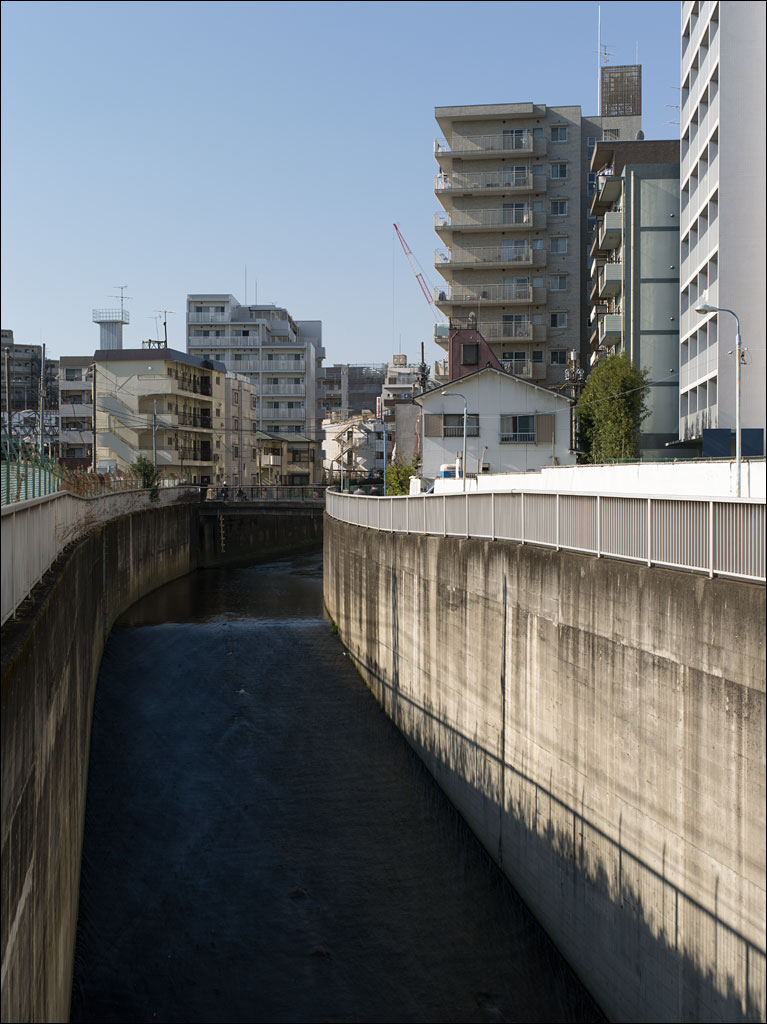 Takadanobaba is a town between Ikebukuro and Shinjuku. It is fairly much residential with a few universities and colleges in and around the area. This particular place is where the Zenpukuji river flows into a subterranean channel—it later resurfaces when it joins the Kanda river.
This image is one of the many outtakes of the Earth, Water, Fire, Wind, Emptiness project. Less than 2% of the images I took in Tokyo appear in the book.
A Tokyo Landscape
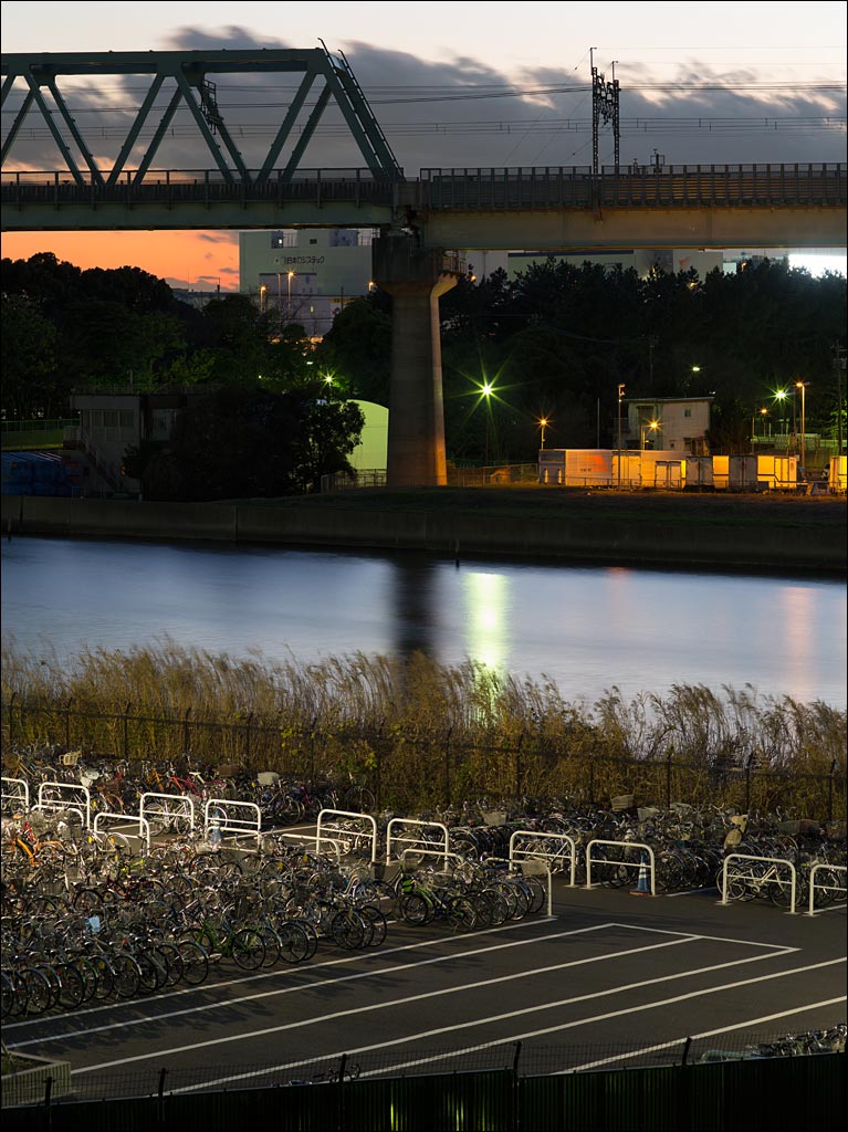 Tokyo, like many cities, is built up of layers upon layers. Time shift those layers, removing old ones and adding new. But somehow, when you stand in front of a landscape, you feel its solidity—a sort of eternal presence. If I had taken this picture one hundred years ago, all I would see would be the water of Tokyo bay (not this canal), the horizon, and sky. Nothing you actually see in this photograph would be there. Click on the image for a larger view.