Kamikochi and Yari-ga-take

kamikochi_yari_ga_takeOne of the most popular climbing destinations in Kamikochi is the arrow-shaped peak of Yari-ga-take (3,180m/10,430ft.). And it is popular. You will most likely have to stand in line during the morning rush hour while climbers ascend to the summit—there are two routes, one to go up and another to go down.

The first known ascent of Yari-ga-take was by the Buddhist monk Banryu in 1826. The English missionary Walter Weston would scale this mountain 66 years later. While Banryu installed three Buddhist statues, today the summit has a Shinto shrine. The cave Banryu was said to have used for his attempt is still on the trail a few hundred meters below the ridge.

This image was taken from the trail to Momisawa-dake (2755m/9,040ft.) north of Kamikochi. This is a gentler, more secluded section of the alps. Click on the image for a larger view.

Kamikochi and Daikiretto

kamikochi_the_big_cutThe main ridge of the peaks in Kamikochi is a spectacular alpine zone. Daikiretto (大切戸), the Big Gap, is a one kilometer or two-thirds of a mile section that has numerous vertical pitches of rock with chains and ladders to aid climbers. The estimated time to traverse this for an experienced climber is about three and a half hours. This is the view from Kita Hodaka-dake (3,106m/10,190ft.). Click on the image for a larger view.

Kamikochi and Yoko Valley

kamikochi_yoko_dani_2The summer climbing season, coming between rainy season in June and typhoon season in August, is a short one. It is said the last ten days in July present the most stable weather. Even in the best of weather, you can be almost guaranteed a shower in the mountains in the middle of the day, even if the rest of the country is seeing blue skies and sunshine.

One of the most popular routes to the summit of Okuhodaka-dake is through Yoko valley. With a wet, temperate climate, the tree line in the Japanese Alps is around 2,500m/8,200ft. Click on the image for a larger view.

Kamikochi and Azusa Valley

kamikochi_valley_floorThe Azusa Valley runs the length of Kamikochi. Despite the 1,500m/5,000ft elevation of the valley floor, mild summer temperatures and abundant rain create a rich ecosystem. The Japanese Cardiocrinum lily, Cardiocrinum cordatum var.glehnii, is an impressive sight. Click on the image for a larger view.

In the early twentieth century, the valley was under threat from cattle pasturing in the summer. With the release of the highly successful novel Kappa by Ryunosuke Akutagawa, wherein the eponymous creatures where said to dwell in Kamikochi, and a visit by an imperial prince in 1927, the influx of tourists exploded. Ten years later, area was was given permanent protection in the formation of the Chubusangaku National Park.

Kamikochi and the Japanese Alps

kamikochi_panorama
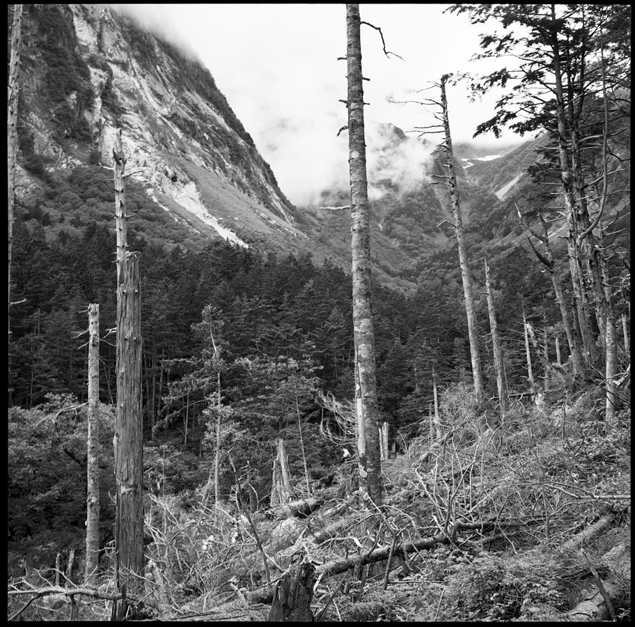
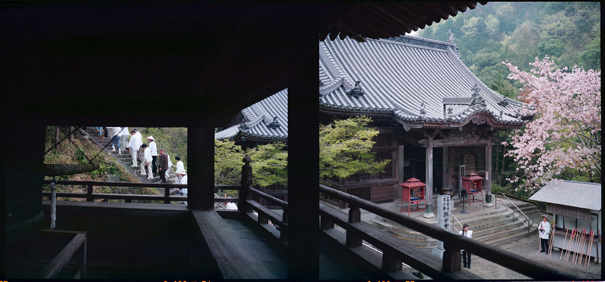
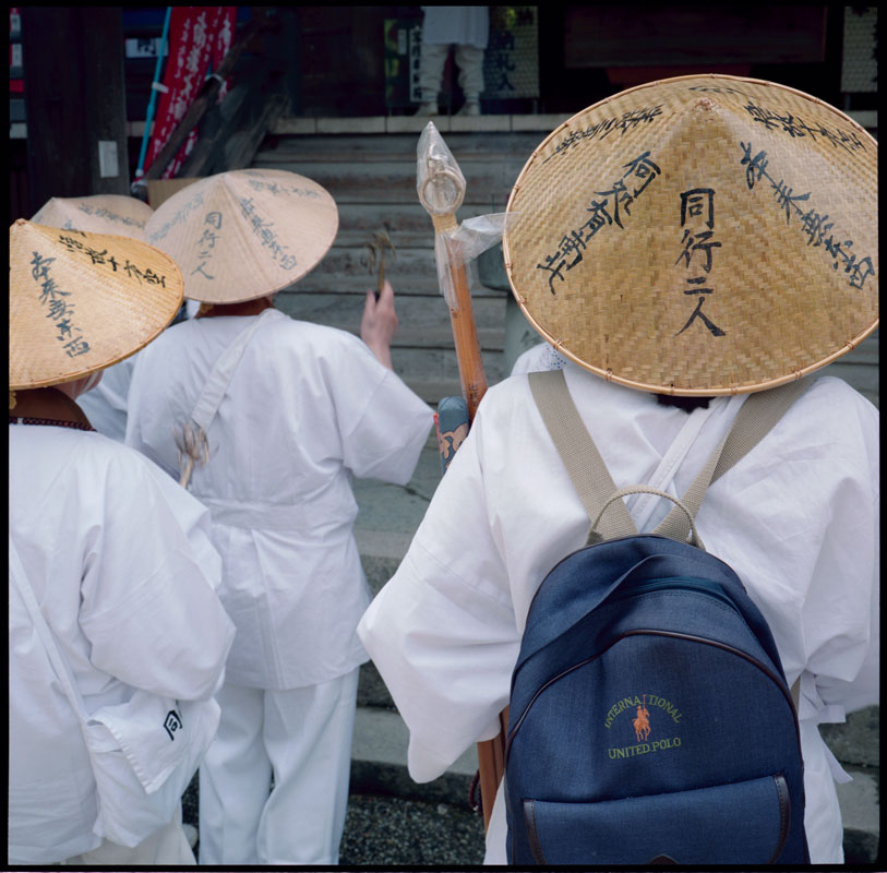
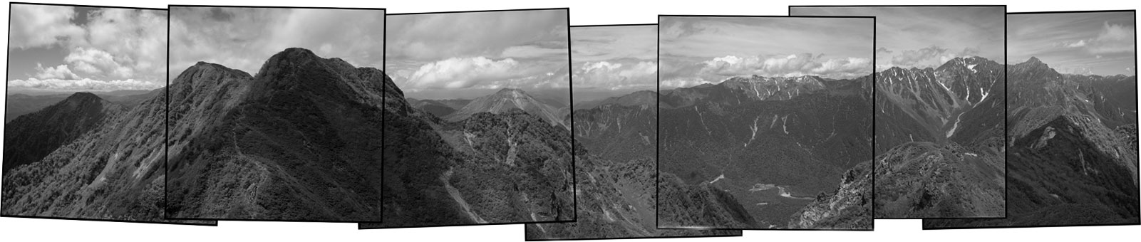
Kamikochi is located in the North Japanese Alps. This is the home of Japanese alpinism, a sport introduced to Japan at the end of the nineteenth century by the British missionary Walter Weston. Since then, the Japanese have organized their mountains with thousands of trails and an extensive mountain-hut system. Even the Imperial Hotel has a branch in the valley of Kamikochi (the bottom of the third frame from the right). Before the tourists and climbers, mountains were climbed for religious practice. You will find shrines at the top of many of the peaks.

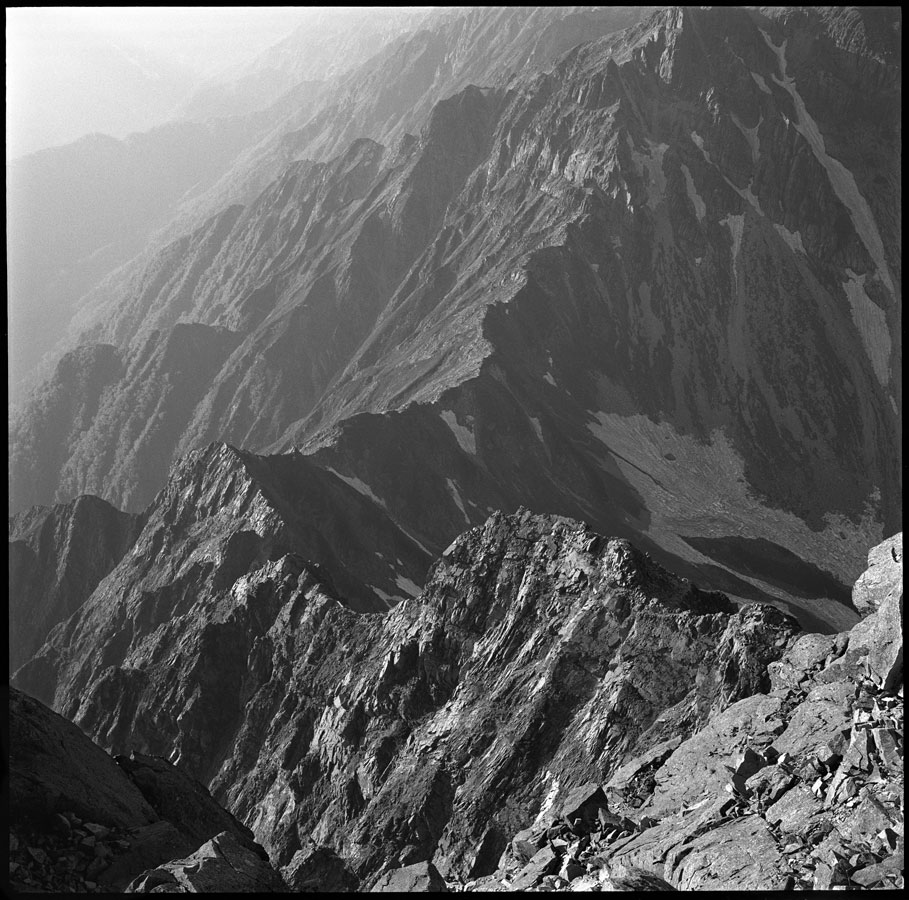
Kamikochi is home to Japan’s third tallest peak Okuhodaka-dake (3,190m/10,470ft.), which can be seen on the right of the panorama. The active volcano Yake-dake (2,455m/8,050ft) can also be climbed if it is not venting gas—it last erupted in 1962 and can be seen in the third frame from the left. The trail on the ridge between Okuhodaka-dake and Yake-dake is known for being one of the most dangerous, and spectacular, routes in Kamikochi.

These photographs were taken from the lesser climbed peaks of Kasumisawa-dake (2,645m/8,680ft.)—K2, as it is known, is the dark peak on the left, with the peak of Kasumisawa-dake just beyond it; I am standing on K1. To say this place is off the beaten path would be an accurate description. Most of this trail is overgrown and can become very unclear in places. It was one of the most physically demanding day hikes I have ever had in Japan, mostly from the heat and humidity of the brush and the undulating trail, rather than from it being technically challenging. Naomi and I were the only ones on the peak that day; it is rare treat to be alone in Kamikochi. Click on the image for a larger view.
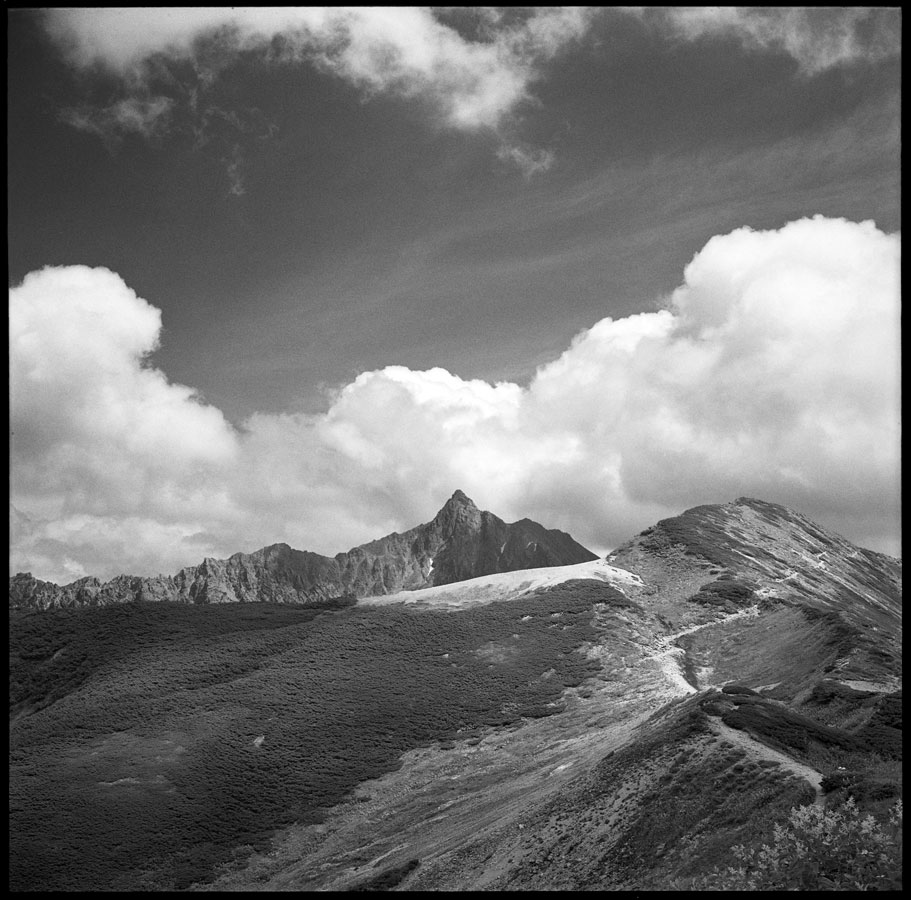
Kumadanaji, Temple 8—Shikoku Pilgrimage

shikoku_temple_8_bell_towerKumadanaji, Bear Valley Temple, is not a scary as it sounds. Tucked in the end of a small valley, it is a peaceful place. This temple has one of the most impressive compounds on the pilgrimage. The main hall can be seen on the right and the steps on the left lead to the Daishi hall. We climbed the bell tower to ring the temple bell—two good friends, both pilgrims before us, had taken shelter at this temple and were the inspiration for our pilgrimage.

At Kumadanaji, Kobo Daishi is said to have had a vision of the Shinto god of Kumano, who bestowed upon him a small statue of Kannon Bosatsu (Avalokitešvara). Kobo Daishi carved the temple’s main image of Senju Kannon (Avalokitešvara of a thousand hands) to enshine it. Click on the image for a larger view.

The 88 Scared Places of Shikoku Pilgrimage

shikoku_temple_1_dougyoThe 88 Scared Places of Shikoku Pilgrimage is probably the most famous pilgrimage in Japan. The route circles the island of Shikoku and takes about 45–60 days to complete on foot, although there are other ways pilgrims choose to travel. Naomi and I had the great fortune to walk this path three times. This year we will be publishing our experience of this remarkable journey.

These pilgrims are praying at the Daishi hall of Ryõzenji, temple number one. The four characters on the back of the hat (同行二人) are the refrain of the pilgrim—Dõgyõ ninin. Simply translated it means the same journey, two people. The second person to which it refers is Kobo Daishi, the founder of Shingon Buddhism, saint, poet, calligrapher, civil engineer, and the person credited in making this pilgrimage. While the pilgrimage is nonsectarian, every pilgrim puts their faith in O-Daishi-sama, as he is known.

Time & Space—Canyon de Chelly

canyon_de_chelly_layersCanyon de Chelly is a layered tapestry in time and space. The rock ledge in the bottom left corner of the image is about 100ft/30m below me. The canyon floor is several hundred feet more. Cottonwood trees, with their bright autumn foliage, mark water running below the surface of the land. Paths and roads trace the passage of the residents, human and animal.