 Camden Hills State Park overlooks Penobscot Bay. Most of the area is covered in thick forest, but a few ridges are exposed. Wild blueberry plants hug the ground just beyond the grip of the wind. Click on the image for a larger view.
Tag Archives: Nature
Summer Wind Storm
 Living on a ridge, our field and forest are in the path of all kinds of weather. Strong winds on sunny, dry days are invigorating. They seem to make our small hill much taller. Click on the image for a larger view.
The Raspberry Harvest
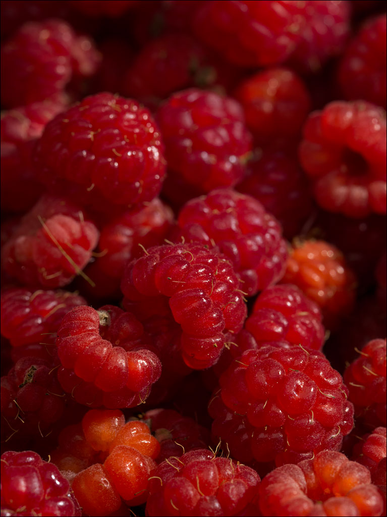 Our raspberries are coming into season. We have a few cultivated varieties, but most of our plants are wild, covering areas in our field and forest. We blended today’s harvest with some frozen pineapple and mango to make sorbet. Click on the images for a larger view.
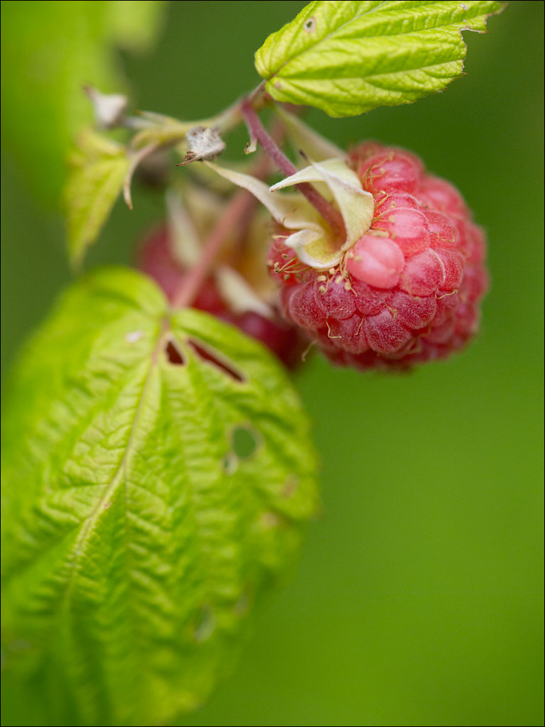
Black-Eyed Susan
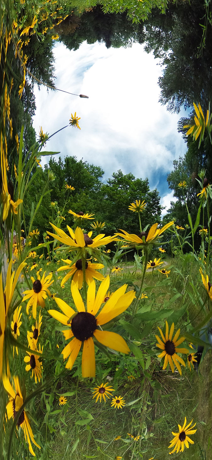 Our lawn is in bloom. The black-eyed susan is the perfect summer flower—big, bright, and joyful. The ideal blossom to draw with a box of crayons. Click on the image for a larger view.
Mountain Sunset
 Sun setting behind the Presidential Range in the White Mountain National Forest. Click on the image for a larger view.
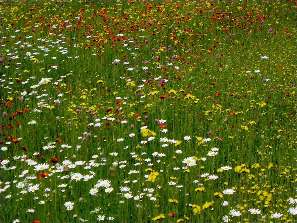
Alpine Garden
 Just below the summit of Mt. Wahington is an area known as the Alpine Garden. Being on the leeward side of the range, this meadow is sheltered from some of the harshest weather on the mountain. Click on the image for a larger view.
Mt. Washington
 Mt Washington, located in the White Mountain National Forest, is the highest peak in New England at 6,288 ft. or 1,917m. While not particularly tall, the climate can be harsh. The fastest recorded wind gusts on the surface of the Earth were measured here on April 12th 1934: 231 mph or 372 km/h. Winters temperatures are extreme, reaching to below –40º. Even in the summer, the summit temperatures are rarely above the mid 50sºF, about 12ºC. And when you visit, there is a good chance of rain or snow.
The mountain was originally known to the Abenaki as Agiocochook, “Home of the Great Spirit.” The spirit of the revered Abenaki chief Passaconaway was said to have ascended into heaven from this peak.
This view is from just below the summit near Nelson Crag. Alpine Garden and the head of Tuckerman Ravine are just below. Click on the image for a larger view.
White Mountain National Forest
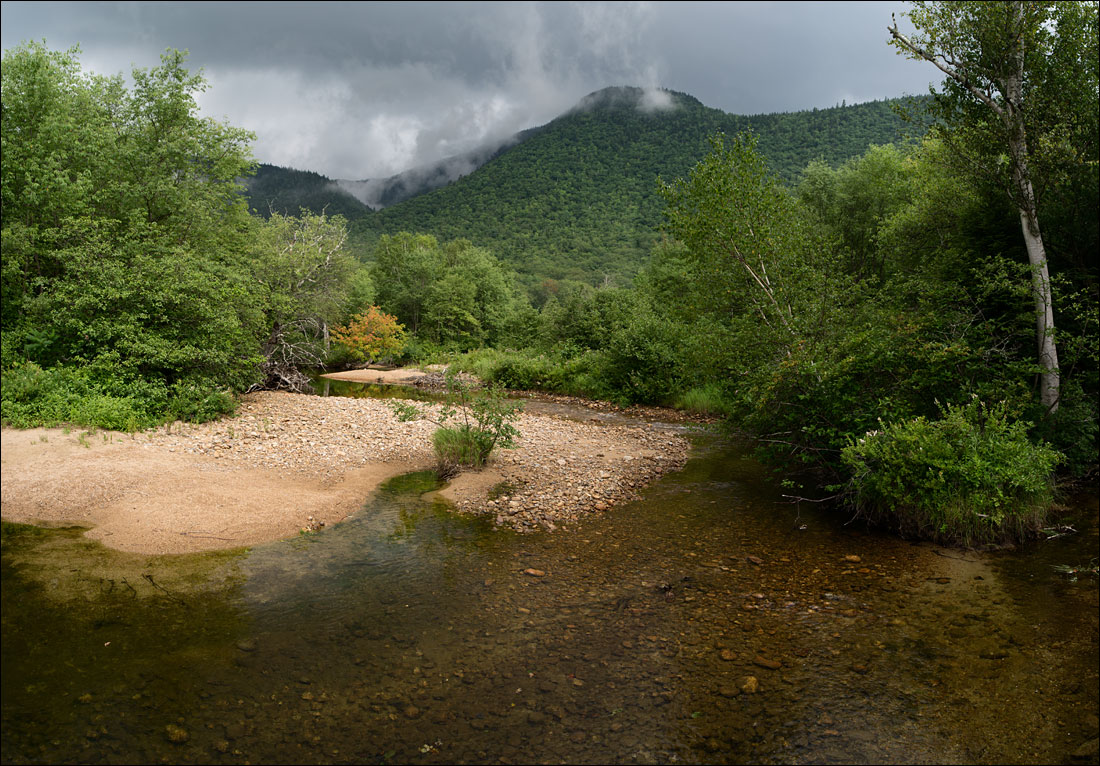
 The White Mountain National Forest is one of the largest wilderness areas in New England, covering 1,225 sq. miles or 3,039 km². While many come to this area for the mountains, there is plenty to explore below the peaks. Ellis River runs off Mt. Washington and down Pinkham Notch. Click on the image for a larger view.
Crawford Notch State Park, NH
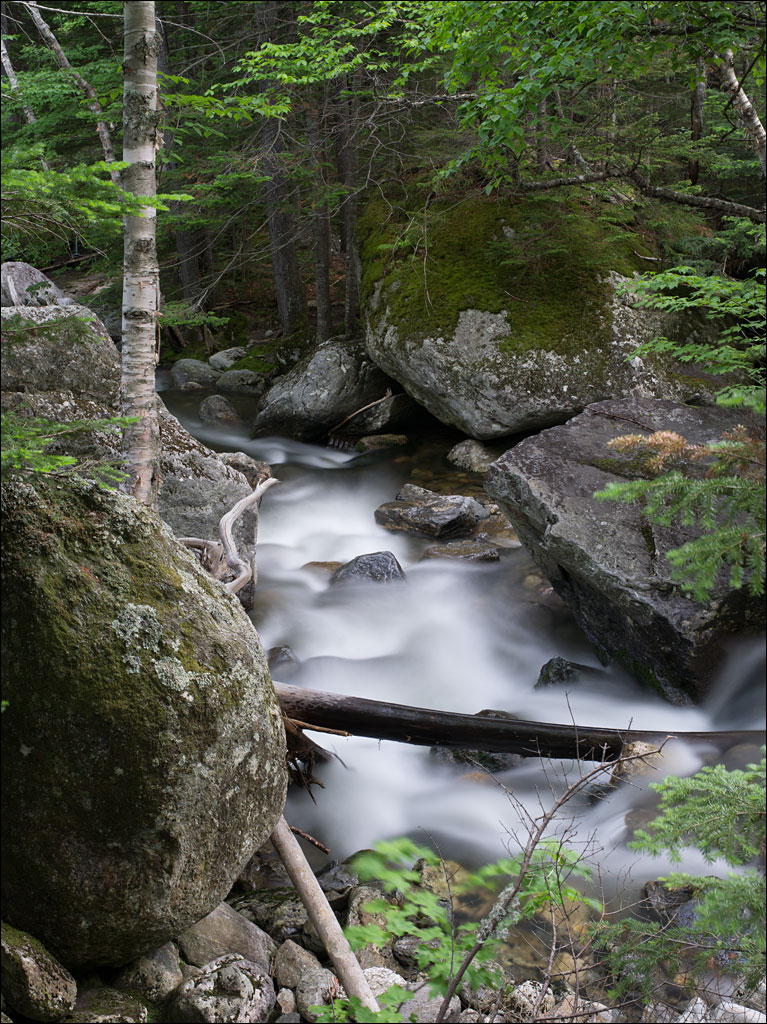
 The White Mountains in New Hampshire is home to Crawford Notch State Park. The park is in the middle of one of the largest national wilderness areas in New England, the White Mountain National Forest. This area is known for its beauty and weather; rain and snow are a constant threat in these mountains. Crawford Notch is also the source for the Saco River that follows through Maine and into the Atlantic Ocean. Click on the image for a larger view.
The Immaculate Lawn
 Lawns are very disciplined spaces. Trimmed and managed into a perfect carpet of green. This is important. This is the way it is done. A flawless lawn is an exemplary symbol of the advances of mankind.
When Naomi and I moved to Maine, we rented a house in Jefferson. It was situated on an acre of land. The lawn mover we were given to maintain that one-acre lawn had broken. In a short time, the discipline of the lawn had been lost. What replaced it was very different (click on the image for a larger view). The lesson was not lost on us when we moved into our home.