
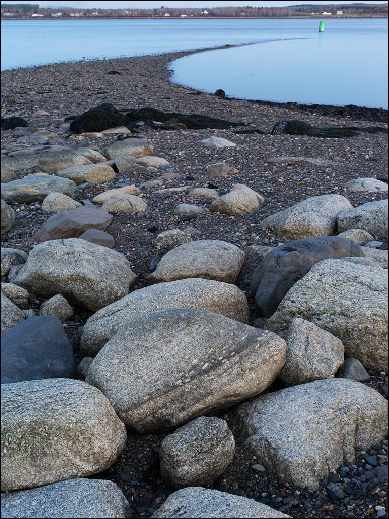
 Fort Point State Park is on Cape Jellison in Penobscot Bay. The Penobscot river is part of the largest system of tributaries in Maine. Between the tidal influences of the Gulf of Maine and this river system, the seeming peaceful waters in Penobscot bay are deceiving. The tidal sandbar that protrudes from Fort Point is shaped by these forces—the sign warning of riptides and a prohibition against swimming on the way to the beach is a reminder.
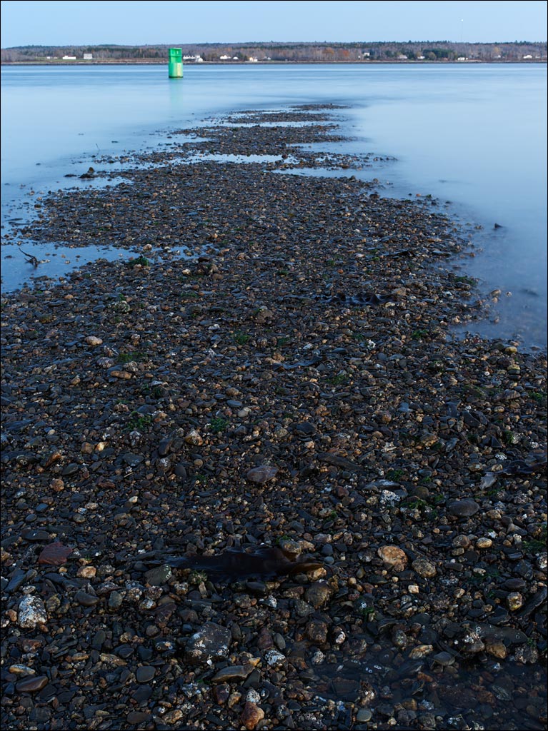 Standing on the sandbar at low tide is strangely peaceful—it feels like being on the shore of a lake. But there is also an uneasiness in this exposure, as if a monster lies below the surface waiting to rise and take you away. Click on the images for a larger view.
Tag Archives: Fort Point State Park
Fort Point State Park
 In Stockton Springs is one of Maine’s numerous lighthouses. Fort Point Light Station does not have the cachet of others like Portland Head, Pemaquid Point, or Bass Harbor. The 1857 lighthouse and keeper’s house are an example of the erratic nature of New England architecture that is pieced together over decades or centuries, but seems to turn out well. The park is also home to the earthworks of the 1759 British Fort Pownell.
Naomi and I arrived at the park late after getting lost—that is how we discovered Sandy Point Beach State Park. The park closes at sunset, and, with an area of 120 acres, we did not have time to enjoy all of it. Click on the image for a larger view.